Seven women, seven ideas: 2026 AgriFutures Rural Women’s Acceleration Grant recipients
 NATIONAL CHALLENGES AND OPPORTUNITIES / Tuesday, 19 September 2023
Harnessing remote sensing and AI to reach holy grail of soil carbon measurement

Recognising the prohibitive cost of measuring carbon in soils, the Australian government has set a target of reducing it to three dollars per hectare. An international team of researchers has combined the power of machine learning and satellite technology to open a pathway to reaching that ambitious goal.
An Australian-based research project has demonstrated how machine learning harnessed to satellite remote sensing can cut the number of costly soil samples required to measure a farm’s carbon levels.
The research by AgTech startup Perennial, supported by AgriFutures Australia’s Carbon Initiative Program, opens new pathways to the ambitious goal set by the federal government to reduce soil carbon measurement to $3 per hectare.
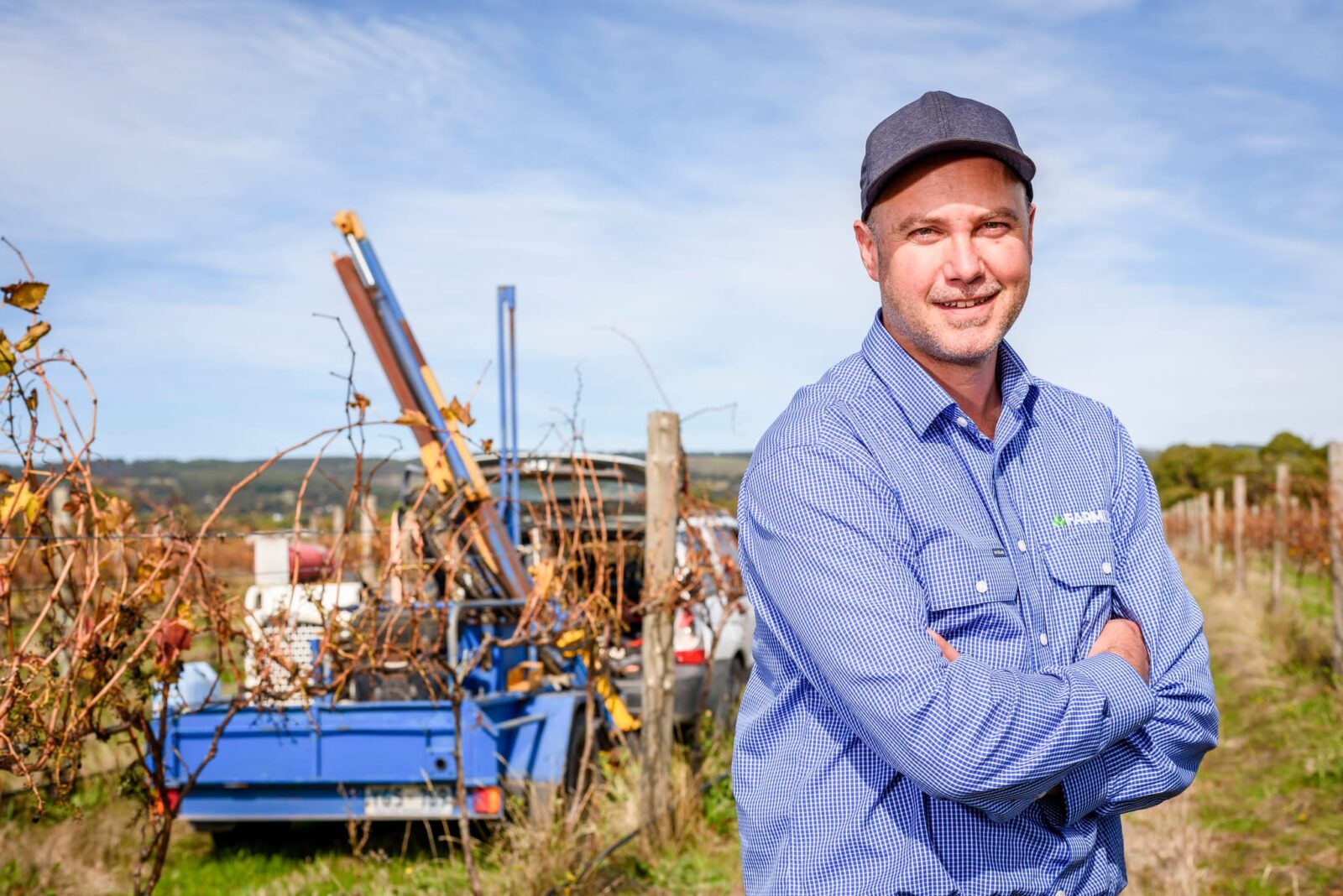
South Australian grape grower and Managing Director of Perennial Australia, Oli Madgett, said reducing the cost of measurement, which can be as high as $20-$30 per hectare, is pivotal to encouraging farmers and landholders to become involved in storing carbon in soil.
“For farmers right now, it’s generally quite cost-prohibitive for us to baseline our soil carbon to the level of rigorousness and robustness that’s required, whether we are deciding to lodge that data under the Emissions Reduction Fund to join a soil carbon project or even to get a snapshot of where we are today for future use,” Mr Madgett said.
The high cost of baselining
The McLaren Vale producer discovered the challenges firsthand when he decided to baseline his family-owned vineyard, The Madgett’s Block, in 2019.
“We wanted to be one of the first vineyards to do it and, going through it as a farmer, we discovered it’s the physical soil sampling which costs a lot of money and thought there was a real need for technology to make this cheaper and yet more rigorous,” he said.
His next move was prompted by two key events – the announcement of the National Soil Carbon Innovation Challenge target of $3/ha measurement and the launch of the $2m Carbon Program research fund by AgriFutures Australia.
Mr Madgett decided to reach out to US-based startup Perennial, which was using satellites to map the world’s forests and track changes in tree and ground cover.
“They had also done a great body of work to quantify carbon in the topsoils of American agriculture,” Mr Madgett said.
“I thought there was a great opportunity to apply those techniques and knowledge to help us in Australia. The project with AgriFutures then helped to take that starting point from America and localise it – to prove if that same approach could work here.”
The project
The project involved creating soil carbon models by building up different layers of information.
“If you imagine it’s like a puzzle, you build it piece by piece,” Mr Madgett said.
“From the satellites we see what is reflected from the earth, such as bare soil or something that tells us about the soil composition – that’s one layer of the model. There are a number of other layers such as soil type, topography, and rainfall.
“Together, these give you have a model that can have a first pass on what the soil carbon level should be on a property. Then, we began adding in physical soil samples to see how many we needed for the model to reach the required level of confidence.”
A series of blind validation tests were carried out whereby the initial modeled soil carbon quantification was compared against the results of a farm that had 27 physical soil samples collected.
“A small number of the soil sample results were then made available to localise the model, and we found that for a 1000-hectare farm we saw significant performance gains after we got to just nine or 10 samples to localise the model against. After this we saw diminishing returns on improvements to our model with any subsequent sampling. The approach that the project is taking is aimed at really reducing the number and density of physical soil samples that are required.
“To get down to the target cost of $3 a hectare we need to achieve confidence in the predictions with as few as four or five samples for a 1000-hectare farm. So, we need to halve it again and I think we will get there.”
Following the successful round of trials, Perennial has secured a further $1.8m in grant funding from round one of the National Soil Carbon Innovation Challenge.
“AgriFutures was instrumental in what was a really great pilot project,” Mr Madgett said.
“Along with our data partners FarmLab we now have funding over the next two years to scale this up to genuinely start seeing the benefits and empower farmers, so they have a rigorous understanding of how much carbon they’ve got in their soils.
“They could demonstrate it to who they sell their grain to, or their animals to. They don’t need to necessarily sign up to a carbon project but will be able to show their baseline levels today, and that what they are doing is improving their soil carbon levels over time – that’s future we want.”
Click to download report here
Click to review all the Carbon Initiative Program research findings here.
Media enquiries:
Matt Wordsworth
0404 029 241
Latest News
-
Seven women, seven ideas: 2026 AgriFutures Rural Women’s Acceleration Grant recipients WORKFORCE AND LEADERSHIP / 19.09.23
 -
Basil Nolan’s Les Young Scholarship experience ‘a dream come true’ THOROUGHBRED HORSES / 19.09.23
 -
19.09.23
Working Together to Strengthen the Regional Agricultural Workforce -
Building a healthier future for sheep: Meet Horizon Scholar Chloe Frank WORKFORCE AND LEADERSHIP / 19.09.23


