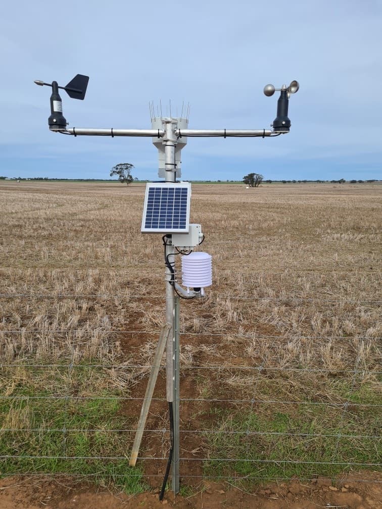
Located in and around Nhill, in the northern Wimmera Victoria, the Woorak Community and Land Management Group have often suffered the effects of isolation. As a broadacre cropping group with limited or no access to localised data, the group consistently struggled to understand and manage variations in seasonal conditions. This variability has presented many challenges for the group, including extended dry times, but also opportunity with unseasonal storm events depositing large amounts of moisture. Up until now, the group have relied on weather and rainfall data from either Nhill, Rainbow or Warracknabeal to manage this, which is often not representative of conditions on the ground.
In 2021, Matt Rohde, on behalf of the Woorak Community and Land Management Group, applied for the pilot round of the Producer Technology Uptake Program. Through a co-contribution model with producer members in the area, the group embarked on a project to install and trial soil moisture probes and weather stations over a 30km radius of their local hall. The data from these trials is collated into a dashboard and shared with contributing members of the community group to demonstrate the benefits of this type of data for improved decision making.
Recent examples of this data used in practice includes improved spraying decisions based off wind speed, direction and delta T data.
The sensor network also provides value at harvest time for monitoring safe local working conditions, with the development of a tailored map underway to show real time fire danger ratings across the trial sites.
As more data is collected, the incorporation of local soil moisture into Water Use Efficiency calculators will be possible for input adjustments to close yield gaps, optimising sowing and nutrition decisions based on soil moisture.
“Installing this weather station network has raised far greater awareness of localised conditions for spraying,” said Woorak Community and Land Management Group member Matt Rohde.
“Previously, weather data for the area has come from towns 30-50km away. It hasn’t always been accurate and often you went out into the paddock you experience different conditions which can pose great risk to neighbouring crops.
“The ability to know exactly what conditions will be like in the area we are working has positively influenced decision making for our operation. Having the knowledge and data has not only impacted our farming operations, but more importantly has improved the safety conditions of the work we are carrying out.”


